

Quick Facts
- Language
- German (Deutsch)
- Currency
- Euro (EUR, €)
- Time Zone
- Central European Standard Time (UTC+1)
- Dialing Code
- +43
- Power Plug
- Type C, E, F (round 2-pin, common across most of Europe)
- Emergency
- 112
- eSIMno Networks
- A1, H3G, T-Mobile
How to Get Your eSIM
- Pick your Austria data plan
Choose the GB allowance that fits your trip length — day hikers need less than week-long trekkers exploring multiple Stadtwanderweg routes. - Install over WiFi at your Vienna hotel
Scan the QR code and download the eSIM profile before you head to the trailhead. Hotel WiFi handles the heavy download so you're not burning mobile data. - Keep your home SIM active for calls
Your phone runs both SIMs — eSIMno handles Austria data while your home number stays reachable for incoming calls without roaming charges on the data side. - Activate when you reach the forest edge
Switch on mobile data as the 38A bus climbs toward Kahlenberg or when you step off at Nussdorf station. Your phone locks onto Austrian towers immediately. - Track your trail with live GPS
Komoot, Outdooractive, and Google Maps pull real-time waypoints as you hike. Download offline segments first, then let cellular refine your position on ridgelines and in valleys.
Traveler Tips
- Download the Stadtwanderweg section maps offline through Komoot before leaving Vienna — cellular signal dips in deep valleys between Kahlenberg and Leopoldsberg.
- The 38A bus from Heiligenstadt U4 station runs every 20-30 minutes to Kahlenberg summit; have the Wiener Linien app loaded to check live departure times.
- Weather shifts fast on exposed ridges — pull the ZAMG Austrian weather radar on your phone before committing to the 3-hour Beethoven Trail loop.
- Incoming calls reach your home number without extra setup; outgoing calls work through WhatsApp or FaceTime over your eSIMno data to avoid home-network roaming fees.
- Wine taverns in Grinzing and Neustift accept card payments — your phone's tap-to-pay works on Austrian terminals without switching SIMs.
Why Data Matters in Vienna Woods
Vienna Woods isn't a manicured city park with information kiosks every 500 meters. The Wienerwald stretches across rolling hills, deep beech forests, and vineyard slopes where the nearest staffed facility might be a 90-minute walk away. Your phone fills every gap the forest can't.
Trail Navigation That Adapts
The Stadtwanderweg network — 24 marked circular routes totaling over 240 kilometers — relies on colored blazes and occasional wooden signposts. Miss a turn at a fork and you add an hour. Komoot and Outdooractive sync with GPS satellites, but refinements need cellular data to pull updated trail conditions, seasonal closures, and elevation profiles. The Beethoven Trail (Stadtwanderweg 9) from Kahlenberg to Nussdorf takes 3 hours; real-time waypoints keep you on the marked path when fog rolls across the ridge.
Weather Checks and Emergency Reach
ZAMG radar shows storm cells approaching from the west — critical when you're on an exposed summit 45 minutes from tree cover. Emergency calls route through 112; location sharing through WhatsApp or Telegram lets hiking partners track you if plans change mid-route. eSIMno plans for Vienna Woods, Vienna, Austria keep that lifeline active without hunting for a WiFi signal.
Transit Connections From the Trailhead
The 38A bus schedule from Kahlenberg summit back to Heiligenstadt U4 shifts between weekdays and weekends. Wiener Linien's app loads live departures — miss the 17:42 and you wait 28 minutes on a cold bench. Same logic for the Kahlenberg cogwheel railway from Nussdorf: real-time updates beat guessing at a paper timetable.
Visiting Vienna Woods
Vienna Woods operates as a protected nature park managed by the Biosphärenpark Wienerwald authority — no entrance gates, no admission fees, open year-round. Trailheads connect directly from Vienna's western suburbs via public transit: the U4 to Heiligenstadt feeds the 38A bus, and the Kahlenberg cogwheel railway departs from Nussdorf.
Peak hiking season runs April through October when daylight extends past 20:00 and trails dry out after spring snowmelt. November through March stays accessible but muddy; ice patches form on north-facing slopes above 400 meters. Sturdy footwear handles both seasons — no technical gear required for the main Stadtwanderweg routes.
Carry water and snacks; facilities cluster only at summit viewpoints (Kahlenberg restaurant, Leopoldsberg terrace) and the Heuriger wine taverns in Grinzing, Neustift, and Sievering. Dogs welcome on leash; cycling permitted on designated forest roads but not single-track hiking paths.
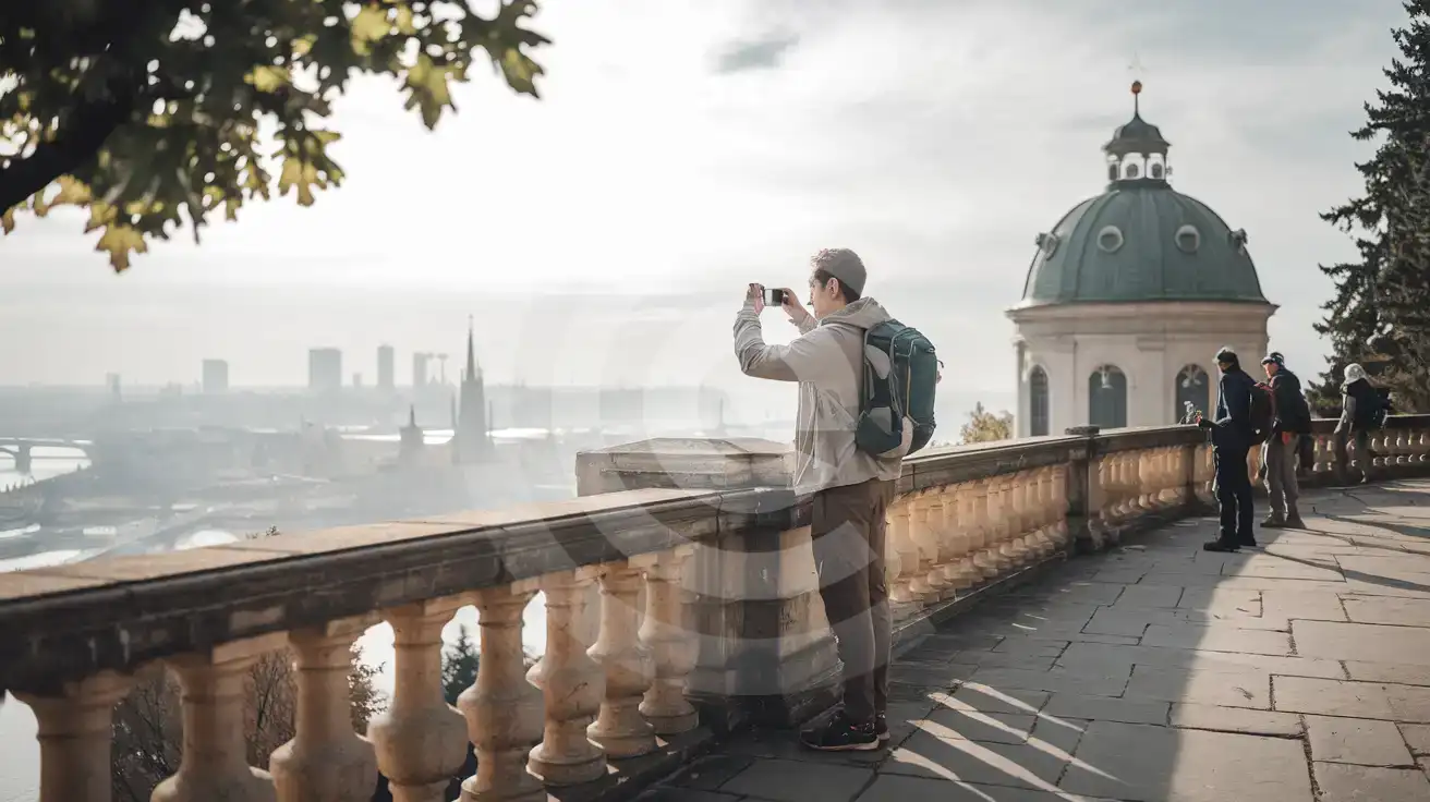
Kahlenberg Summit View
Compare eSIM Options at Vienna Woods
eSIMno | Local SIM / Operator | Roaming | |
|---|---|---|---|
| FEATURES | |||
| Setup time | Few minutes | Only emergency calls work until it is registered | Auto |
| No local ID needed | Online checkout | Official photo ID required to register | Use home account |
| Speed | 4G/LTE on all three Austrian networks; 5G in some areas | One network only | Partner-dependent |
| Travel support | English support 24/7 | German-language service | Home carrier hours |
| Keep home number | Dual SIM | Replaces it | Same number |
| Cost predictability | Fixed price | Prepaid, no bill shock | Bill-shock risk |