

Quick Facts
- Time Zone
- Pacific Time (UTC-8 / UTC-7 DST)
- Dialing Code
- +1
- Currency
- US Dollar (USD, $)
- Power Plug
- Type A, B (flat 2-pin, common across North America)
- Language
- English
- Emergency
- 911 (police, fire, ambulance)
- eSIMno Networks
- AT&T, Verizon Wireless
How to Get Your eSIM
- Pick your US data plan
Choose from eSIMno's USA plans based on your trip length and data needs — most Hollywood Sign hikers pair a 5-7 day plan with their LA itinerary. - Install at home before your flight
Download the eSIM profile over your home WiFi before heading to LAX. The entire process takes under 3 minutes on iPhone or Android. - Activate after landing at LAX
Once your plane taxis to the gate, switch off airplane mode. Your eSIM connects to AT&T or Verizon within seconds — you'll have data before you reach the arrivals hall. - Keep your home SIM for calls
Your eSIMno plan handles all data. Keep your home SIM active for incoming calls and texts — dual-SIM mode runs both simultaneously. - Navigate to the trailhead
Open Google Maps or AllTrails, set your destination to the Canyon Drive trailhead or Griffith Observatory, and your rideshare or rental car route loads instantly.
Traveler Tips
- Start hiking before 8:00 AM to avoid midday heat — summer temperatures on the exposed trails exceed 95°F by noon, and your phone battery drains faster in extreme heat.
- Download offline maps for Griffith Park via Google Maps or AllTrails before you leave your hotel — cellular signal dips in some canyon sections, and cached maps keep navigation working.
- Bring at least one liter of water per person; there are no water fountains or vendors on the trails between Canyon Drive and the sign.
- The closest ground-level viewpoint is Lake Hollywood Park on Canyon Lake Drive — coordinate your Uber or Lyft pickup here after capturing the classic upward-angle photo.
- Set your eSIM data line as the default for cellular data in your phone settings — this prevents accidental roaming charges on your home SIM while abroad.
Why Data Matters at the Hollywood Sign
The Hollywood Sign sits at the end of multi-mile hiking trails with zero WiFi coverage and variable cellular signal depending on your position in the canyon. Your phone handles three critical tasks: real-time navigation through trail forks that lack signage, weather alerts for heat advisories that spike without warning, and rideshare coordination for the pickup that gets you back to your hotel.
Trail Navigation
The Brush Canyon Trail from Canyon Drive runs 6 miles round trip with elevation changes that confuse first-time visitors. AllTrails and Google Maps with live GPS tracking show your exact position on the switchbacks, flag wrong turns before you commit to them, and estimate remaining distance to the viewpoint behind the letters. Offline maps help in dead zones, but live data confirms you're on the right fork when the cached layer runs out.
Rideshare Pickup Coordination
After a 3-4 hour hike, the last thing you want is to wait 25 minutes for a driver who can't find the trailhead. Lyft and Uber both require data to request a ride, track your driver's approach, and message them if the pin location is off. Lake Hollywood Park and the Griffith Observatory parking lot are the two reliable pickup zones — drop a pin while you still have signal and your driver arrives as you descend.
Photo Sharing and Cloud Backup
The viewpoints behind and above the sign deliver the shots your followers expect. With eSIMno plans for Hollywood Sign, Los Angeles, California, United States, your photos upload to iCloud or Google Photos while you're still on the ridge — no waiting until you're back at the hotel to share your best frames. The same data keeps group chats active so your travel companions know when you'll rejoin them.
Visiting the Hollywood Sign
The Hollywood Sign itself is fenced off — no public access to the letters. Visitors experience the sign from designated viewpoints reached via Griffith Park trails or street-level vantage points in the surrounding neighborhoods.
Trail Access
The recommended trailheads are Canyon Drive (Brush Canyon Trail, 6-mile round trip) and the Charlie Turner Trailhead near Griffith Observatory (Mount Hollywood Trail, 5-mile round trip). Both routes involve 1,000+ feet of elevation gain on exposed fire roads. Trails open sunrise to sunset; rangers enforce closures after dark.
Street-Level Viewpoints
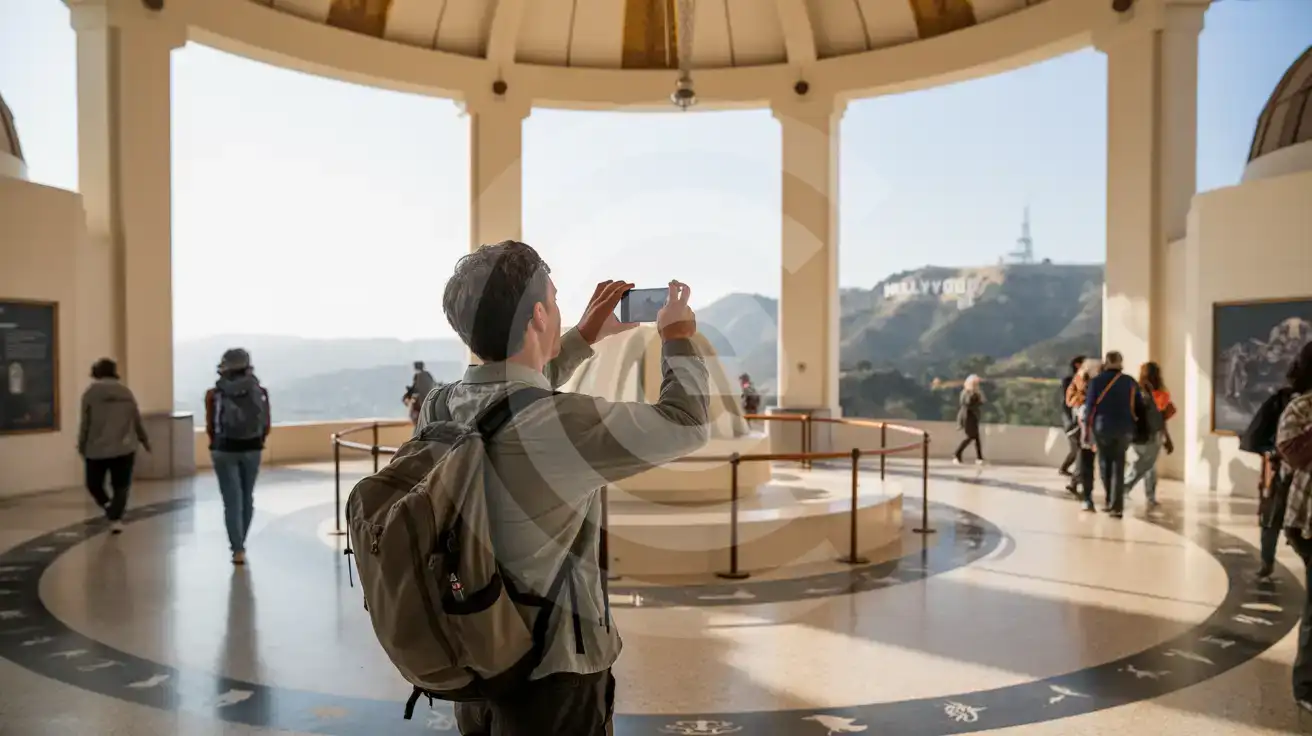
Lake Hollywood Park on Canyon Lake Drive offers the closest unobstructed street-level view — arrive by rideshare since residential parking is restricted. The Griffith Observatory south lawn provides a straight-on panoramic angle with the Art Deco observatory building in the foreground.
What to Wear
Sturdy hiking shoes, sun protection (hat, sunscreen, sunglasses), and lightweight layers. The trails have no shade and temperatures swing 15-20°F between morning and midday.
Capturing the Hollywood Sign
Compare eSIM Options at Hollywood Sign
eSIMno | Local SIM / Operator | Roaming | |
|---|---|---|---|
| FEATURES | |||
| Setup time | Few minutes | Store kit, needs activation | Auto |
| No local ID needed | Online checkout | No SSN; passport at carrier stores | Use home account |
| Speed | 4G/LTE on AT&T, T-Mobile and Verizon; 5G in some areas | One carrier only | Partner-dependent |
| Travel support | English support 24/7 | English-language service | Home carrier hours |
| Keep home number | Dual SIM | Replaces it | Same number |
| Cost predictability | Fixed price | Advertised price needs Auto Pay | Bill-shock risk |